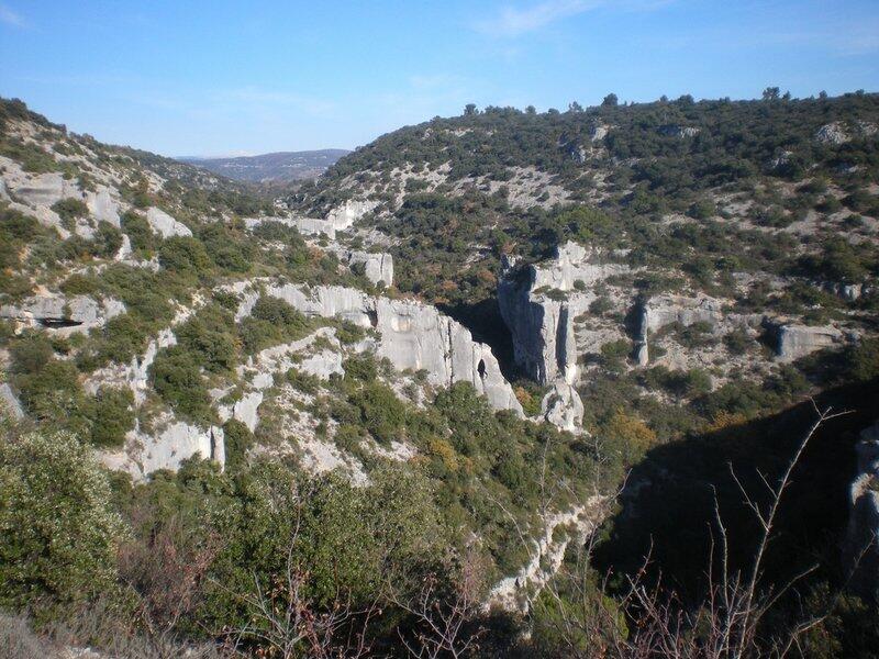
Amonts des gorges de Véroncle
Walking/pedestrian
in Murs
9.4
km
Loop
Walking/pedestrian
3h
Medium
-
Find the details of the trail to download on http://www.cheminsdesparcs.fr/
- See all reviews
- 278 meters of difference in height
-
- Start altitude : 502 m
- End altitude : 502 m
- Maximum altitude : 517 m
- Minimum altitude : 366 m
- Total positive elevation : 278 m
- Total negative elevation : -278 m
- Max positive elevation : 85 m
- Min positive elevation : -51 m

Your browser is out-of-date!
Update your browser to view this website correctly. Update my browser now