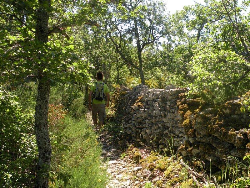
Chemin de la gardette
Great hiking
,
Walks and hikes
,
Walking/pedestrian
in Saignon
7.0
km
Loop
Walking/pedestrian
2h 30min
Medium
-
Find the details of the trail to download on http://www.cheminsdesparcs.fr/
- See all reviews
- 194 meters of difference in height
-
- Start altitude : 477 m
- End altitude : 477 m
- Maximum altitude : 633 m
- Minimum altitude : 477 m
- Total positive elevation : 194 m
- Total negative elevation : -194 m
- Max positive elevation : 37 m
- Min positive elevation : -29 m

Your browser is out-of-date!
Update your browser to view this website correctly. Update my browser now