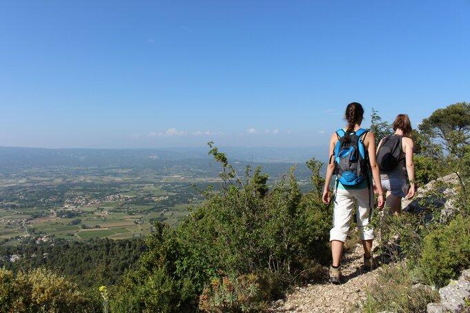
Le Mourre de Cairas
Walking/pedestrian
in Oppède
11.1
km
Loop
Walking/pedestrian
4h
Hard
- See all reviews
- 679 meters of difference in height
-
- Start altitude : 241 m
- End altitude : 240 m
- Maximum altitude : 724 m
- Minimum altitude : 223 m
- Total positive elevation : 679 m
- Total negative elevation : -679 m
- Max positive elevation : 399 m
- Min positive elevation : -195 m

Your browser is out-of-date!
Update your browser to view this website correctly. Update my browser now