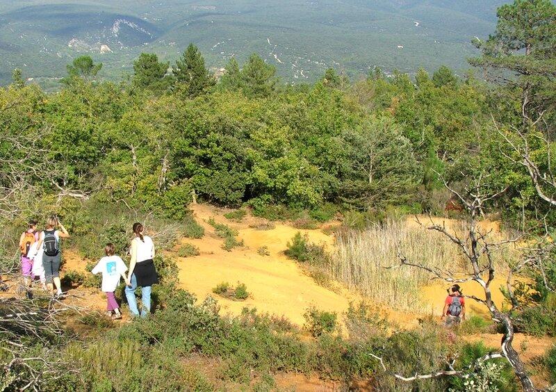
Le Trou des Américains
Walking/pedestrian
in Villars
1.9
km
Loop
Walking/pedestrian
45min
Very easy
-
Short stroll through a massif classified as a sensitive natural area, rich in species rare and discreet.
"A special place to discover some symbolic species like Pelobates Cultripes toads or bats. The hill of La Bruyère is a real reservoir of biodiversity." Mathieu Berson, Natura 2000 Market researcher at the Luberon RNP. -
Find the details of the trail to download on http://www.cheminsdesparcs.fr/
- See all reviews
- 80 meters of difference in height
-
- Start altitude : 328 m
- End altitude : 328 m
- Maximum altitude : 384 m
- Minimum altitude : 313 m
- Total positive elevation : 80 m
- Total negative elevation : -80 m
- Max positive elevation : 47 m
- Min positive elevation : -33 m

Your browser is out-of-date!
Update your browser to view this website correctly. Update my browser now