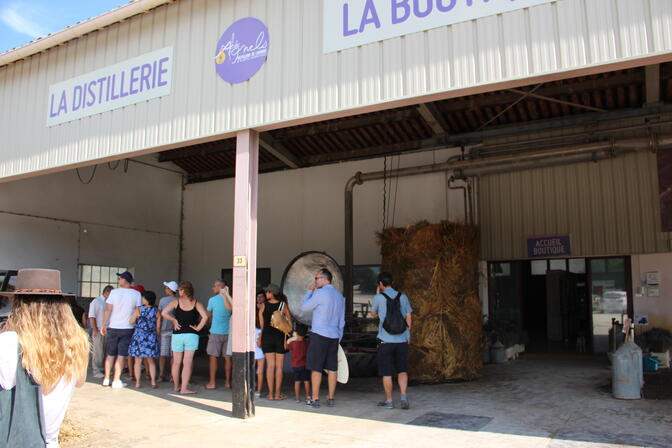
From1Apriluntil31May , ...From1until30June , ...From1Julyuntil31August , ...From1Septemberuntil31October , ...From1Novemberuntil31March2027Les Agnels - Lavender and aromatic plant distillery Apt
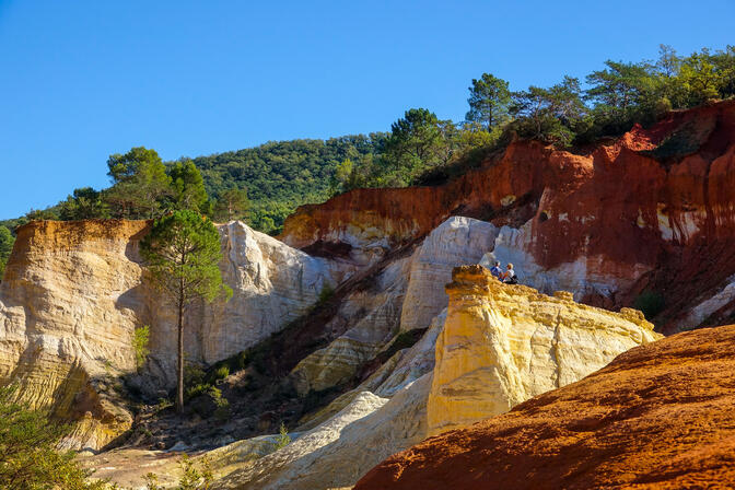
From1until30April , ...From1until31May , ...From1until30June , ...From1Julyuntil31August , ...From1until30September , ...From1until31October , ...From1until11NovemberColorado of Rustrel Rustrel